|
Links
The
Wolfeboro Historical Society's Image Archives
A collection of about 2000 Historic Photos of Wolfeboro. Photos are indexed, captioned and searchable, and a high resolution
copy can be easily downloaded for personal use.
A collection of Old Postcards.
Museum
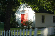
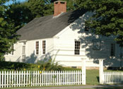
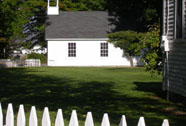
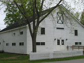
Virtual Tours. Tours show a sample of exhibits in each of the four
buildings in the Museum Complex.
Road Trips. Road Trips show sights
in the Wolfeboro area. Included are State Historical Markers, Wolfeboro
area markers, and sights you might enjoy by driving on lesser traveled
byways.
History of the Establishment of Wolfeboro, NH
(4/11/2016)
Seven Early Farms
Maps: 1
2
3
Early Division Of Wolfeboro
Wolfeboro From Settlement into the 20 Century (10/27/2017)
Wolfeboro Downtown Historic Walking Tour
Page 1
Page 2 Wolfeboro Historic Driving
Tour Brochure Part One
Front
Back
Wolfeboro Historic Driving Tour Brochure Part Two
Front
Back
A Rich Traditional Heritage of Cotton Mountain
A 57 page narrative history of the area and residents, originally
written in 1937.
Part 1
Part
2
Part
3
Cottonboro
Homes
A map and owner's list from 1774 to 1981, with a conversion to
today's address as of 2016.
Peripatetic Wolfeboro
A 38 page narrative of the early days of Wolfeboro, especially the
many relocations of buildings, an example of Yankee Thrift, 1955.
Gazetteer of Wolfeboro:
an update of the first publication included in the 1994
History of Wolfeboro by
Q. David
Bowers. This is a work in progress. Public input to expand
entries or add missing entries is
solicited: please email comments
to WolfeboroHistoricalSociety@gmail.com.
Maps that show History of Wolfeboro
The Topographical Map of Carroll County, 1861, shows the buildings
throughout the County, and includes owner names of record at the time.
The link below is easily expanded to see the details.
Sanborn
Fire Insurance Company Maps of Carroll County
provide building location
and names of businesses and public buildings. Maps cover 1887, 1892,
1901 and 1917. Scroll to the bottom of the page to find the map sets for
Wolfeboro.
|